The Chepelare river or Chepelarska reka (Bulgarian: Чепеларска река) is an 86 km-long river in the Rhodope Mountains of southern Bulgaria, a right tributary of the river Maritsa.
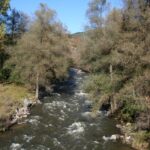
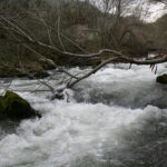
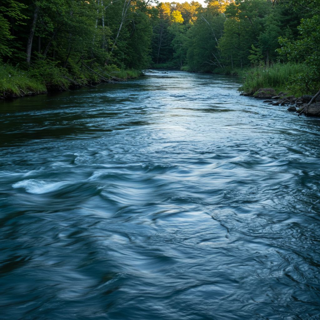
The river takes its source at an altitude of 1,550 m in the Pamporovo ski resort in the western Rhodope mountain range. Until the village of Hvoyna the Chepelarska reka flows north, then turns in northeastern direction until the village of Bachkovo, where it again turns north until its mouth. Throughout most of its course until the outskirts of Asenovgrad, the river flows in a deep and dramatic valley with two widenings at Chepelare and Hvoyna. Downstream it enters the Upper Thracian Plain, where the riverbed becomes wide and sandy, with irrigations canals diverting from it. The Chepelarska reka flows into the Maritsa at an altitude of 183 m some 2.5 km south of the village of Rogosh. The river receives numerous tributaries, the most important being the Yugovska reka (45 km). Its drainage basin covers a territory of 1010 km2 or 1.9% of Maritsa’s total and borders the drainage basins of the Cherkezitsa to the east, the Arda to the southeast, the Vacha to the southwest and west, and the Parvenetska reka to the northwest, all of them right tributaries of the Maritsa. The Chepelarska reka has predominantly rain-snow feed with high water in April–May and low water in August. The average annual flow at Bachkovo is 12 m3/s.
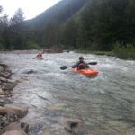
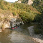
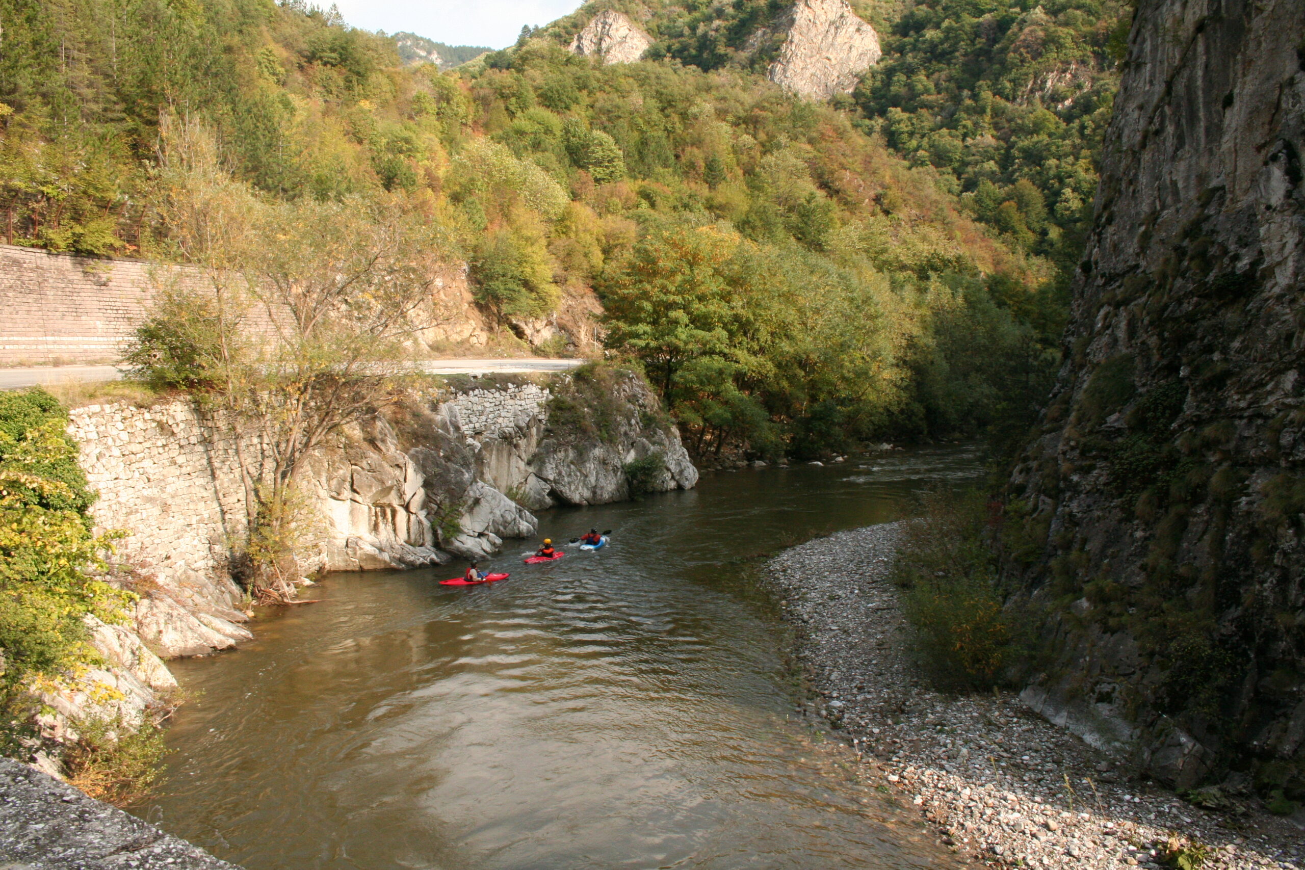
Difficulty: class III – IV